File:Stur map.jpg
From WikiDotMako
No higher resolution available.
Stur_map.jpg (600 × 427 pixels, file size: 144 KB, MIME type: image/jpeg)
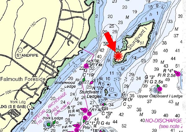
A map of Studivant Island.
File history
Click on a date/time to view the file as it appeared at that time.
| Date/Time | Thumbnail | Dimensions | User | Comment | |
|---|---|---|---|---|---|
| current | 19:01, 13 May 2014 | | 600 × 427 (144 KB) | Mollydb (talk | contribs) | A map of Studivant Island. |
You cannot overwrite this file.
File usage
The following page uses this file: